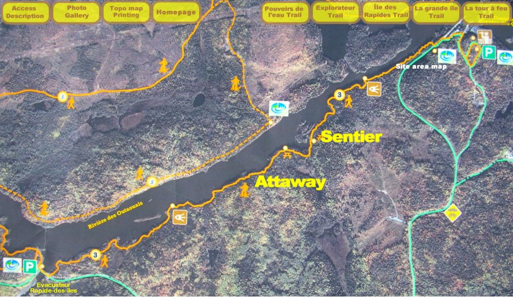
Access
For trail areas, as well as for a trail in particular,
consult the
Site Area Map
and the accompanying text for road assistance.
Access to "Attaway” Trail
West entrance:
from the North, at 11.2 km from route
101 is the trailhead.
(See Site Area Map). From south, The trailhead is 3.7 km from
route 391 Trail Description Trail # 3; length: 3,5 km, linear, considered as an easy trail for beginners in summertime
and difficult in winter.
East entrance :
South entrance, continue on chemin du Pouvoir and
turn right at intersection as indicated, about 4.7 km you will arrive at a
temporary parking lot situated beside the
Rapides-des-Quinze
Power Station near the
tower and belvedere.
See map above
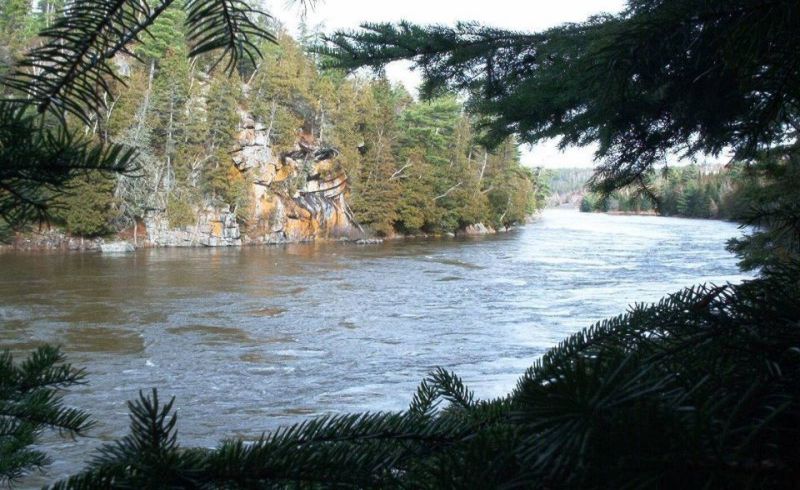
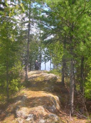
Year round, why not take a quiet stroll for a few hours and be seduced by the
splendor and vistas nature has to offer. The small majestic islands are more
than the eye can meet. All along, you will discover many ecosystems and
different habitats.
Depending on the time or number of vehicles available, it is possible to
leave a vehicle at the end of the trail whether your starting point is from
the North or South trailhead. You can walk the trail in 2.5 hours.
For further information:
The rivière des Quinze (15 rapids) is in fact the “Outaouais” river which means
“trading”, in Algonquin. The trail could be written two ways : ADAWE or
ATTAWAY meaning “sell” in Algonquin.
Top of page
Top of page Photo gallery
(move your cursor on the "keyboard"; with a touchscreen, touch it.)